
Managing land comes with important decisions, and understanding your land’s natural features is the best place to begin. Whether your goal is improving forage, enhancing wildlife habitat, or developing a Habitat Management Plan, these tools can help you better understand what’s possible on your property.
The resources below allow you to explore soil, water, vegetation, and land history—key factors that influence both livestock production and grassland bird habitat.
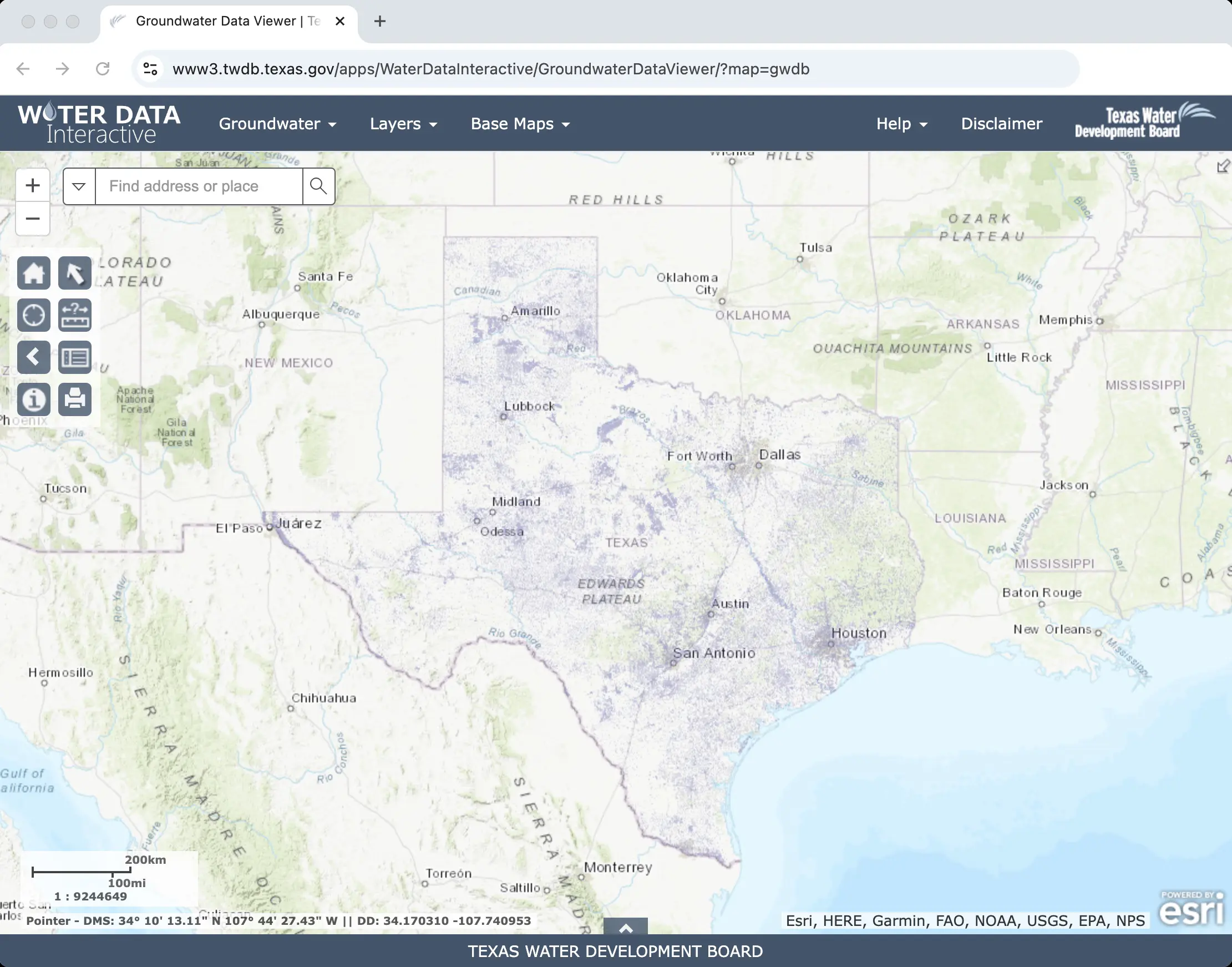
Groundwater Data Viewer
Explore aquifers, wells, and groundwater availability to support informed water-management decisions for livestock and wildlife.
Web Soil Survey
Learn about your soil types to understand which grasses, forbs, and shrubs are best suited to your land—an essential step for forage quality and native habitat.
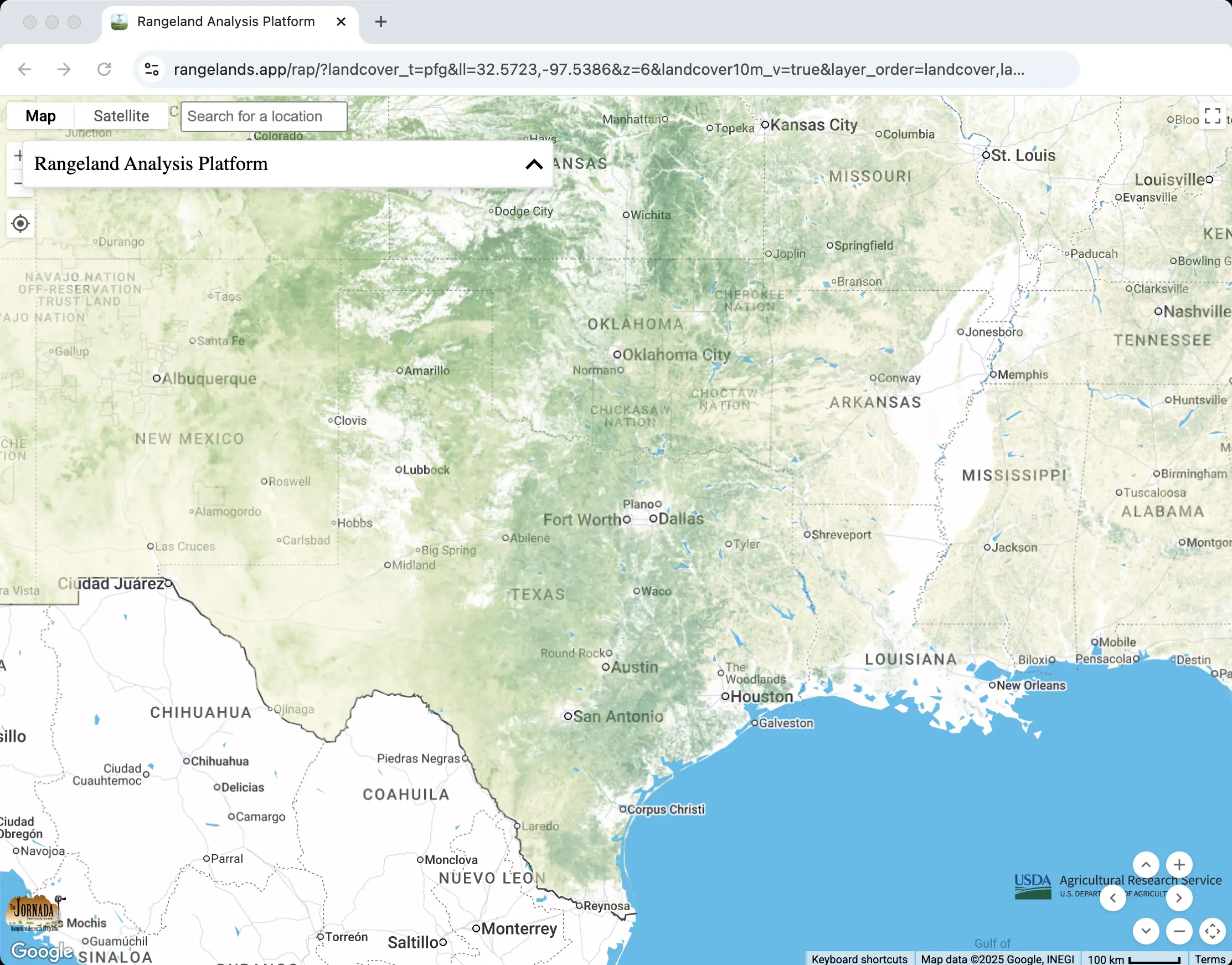
Rangeland Vegetation and Productivity Tools
Review historical and current vegetation data to help guide grazing rotations, restoration planning, and long-term habitat improvements.
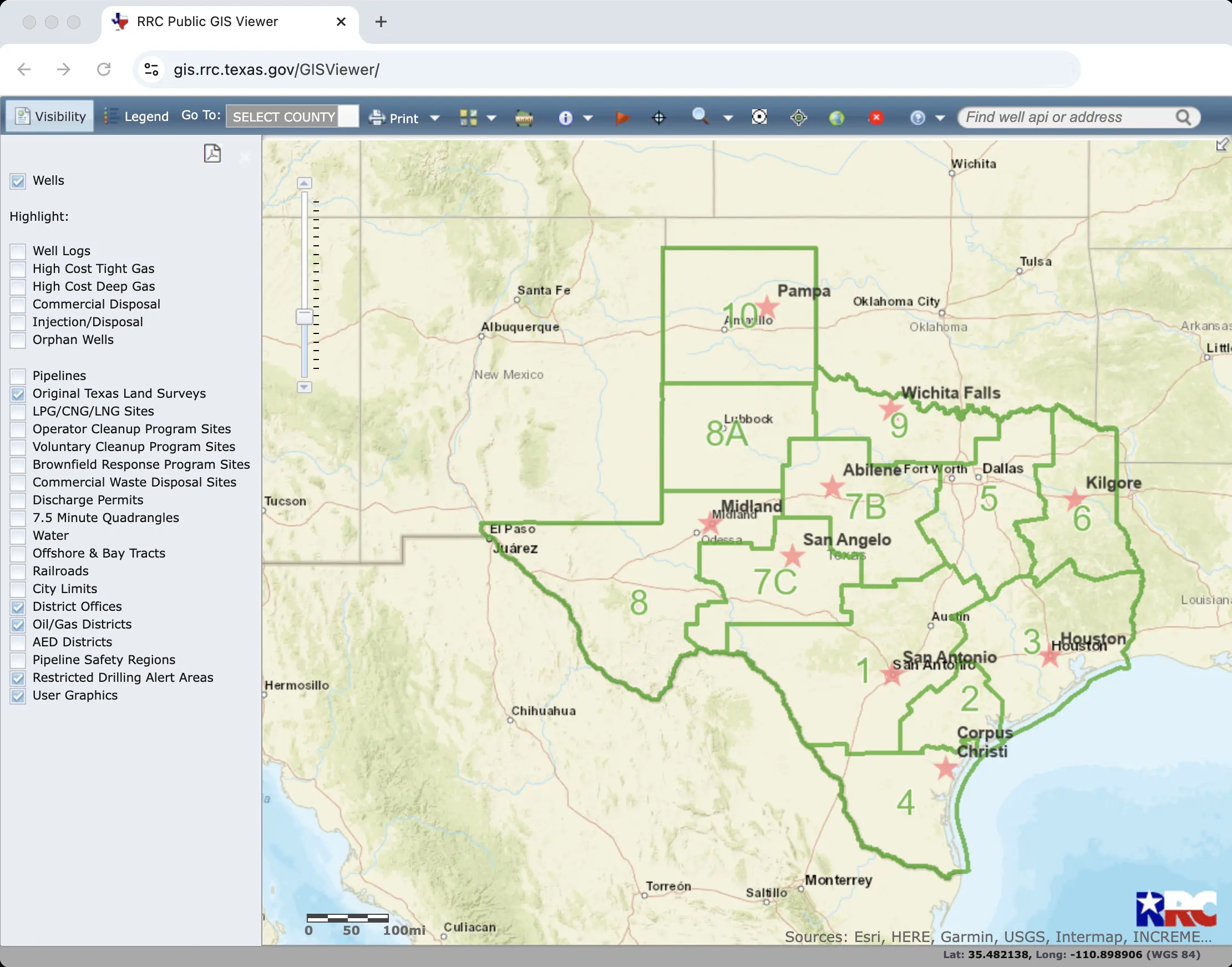
Oil, Gas, and Energy Infrastructure Maps
Identify existing infrastructure and past disturbance to avoid surprises and plan conservation or management projects more efficiently.
Next Steps
After exploring your land, consider discussing what you’ve learned with an Audubon biologist or your local Audubon Conservation Ranching coordinator. These insights can help shape or refine your Habitat Management Plan and support long-term stewardship.